Aerial Drone Imaging
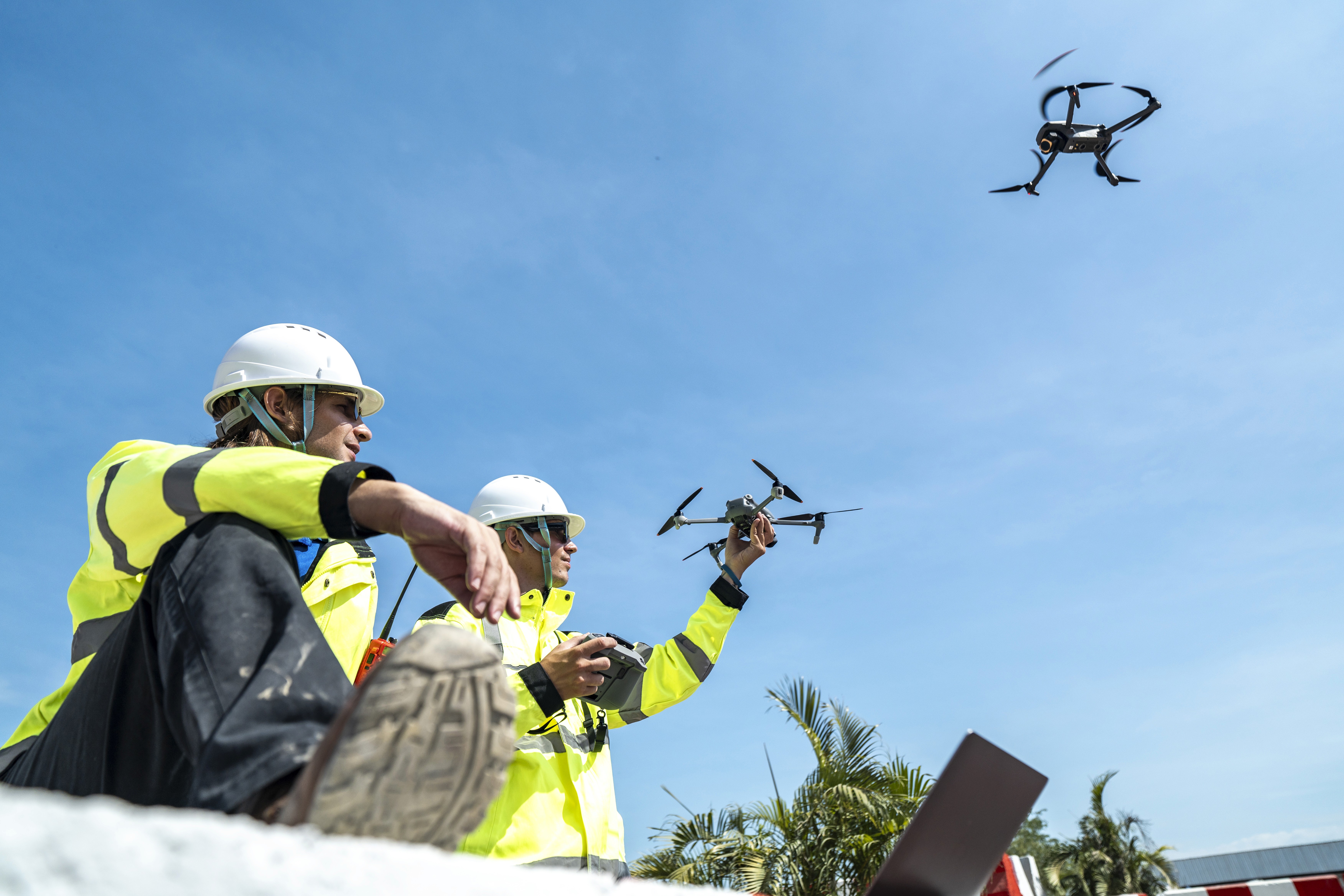
Our FAA Part 107 certified drone operations capture high-resolution aerial photography, cinematic video, orthomosaic maps, and aerial LiDAR data for site documentation, roof inspections, marketing, and large-scale spatial mapping. When interior scanning needs site context or your project requires a bird's-eye perspective, drone imaging completes the picture. We deploy professional-grade drones equipped with high-resolution cameras and LiDAR payloads to capture what ground-level tools simply cannot reach — all conducted by licensed, insured pilots in full compliance with FAA regulations.

What We Do
Our FAA Part 107 certified drone operations capture high-resolution aerial photography, cinematic video, orthomosaic maps, and aerial LiDAR data for site documentation, roof inspections, marketing, and large-scale spatial mapping. When interior scanning needs site context or your project requires a bird's-eye perspective, drone imaging completes the picture. We deploy professional-grade drones equipped with high-resolution cameras and LiDAR payloads to capture what ground-level tools simply cannot reach — all conducted by licensed, insured pilots in full compliance with FAA regulations.